Behind every successful Uber ride is a technology many of us take for granted: maps. Mobile maps and GPS allow us to match you with the closest available driver, navigate the fastest path to your destination, and give you an accurate ETA. Accurate maps are at the core of our mission: to provide reliable transport to everyone, everywhere.
In fact, Uber wouldn’t exist if comprehensive interactive digital maps hadn’t been created first. For over a decade I helped lead that effort as the head of Google Maps. Today I lead Uber’s mapping efforts to ensure we can make a safe, reliable ride available to you — no matter where you are. To do that, Uber uses a mix of mapping technologies (including our own) to provide the underlying infrastructure for our apps.
Existing maps are a good starting point, but some information isn’t that relevant to Uber, like ocean topography. There are other things we need to know a lot more about, like traffic patterns and precise pick-up and drop-off locations. Moreover, we need to be able to provide a seamless experience in parts of the world where there aren’t detailed maps — or street signs.
The ongoing need for maps tailored to the Uber experience is why we’re doubling down on our investment in mapping. Late last year we put mapping cars on the road in Mexico, Canada, the United Kingdom and South Africa. On Monday 16 January we’re launching this effort in Australia, beginning on the Gold Coast.
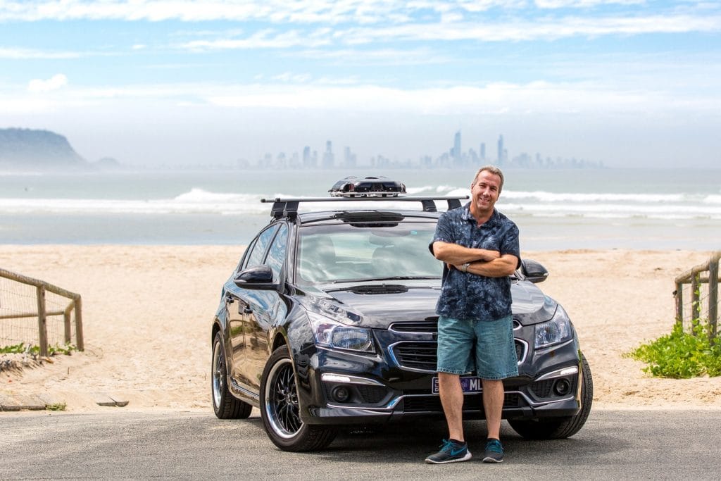
To accomplish this, we’ve worked with some of our driver-partners to equip their vehicles with our mapping devices. This allows us to collect the most important data — in places where Uber trips go — without putting more cars on the road.
Of course, we take the privacy of our riders very seriously. If you catch a ride with one of these, know that the devices do not retain any imagery at or around your initial pick-up or final drop-off locations.
The street imagery captured by our mapping devices will help us improve core elements of the Uber experience, like the best routes for riders and drivers, and identify street segments that are better suited for pick-ups and drop-offs.
Over the past decade mapping innovation has disrupted industries and changed daily life in ways I couldn’t have imagined when I started. That progress will only accelerate in the coming years especially with technologies like self-driving cars. I remain excited by the prospect of how maps can put the world at our fingertips, improve everyday life, impact billions of people and enable innovations we can’t even imagine today.
To learn more about our mapping efforts or keep track of upcoming cities, visit www.uber.com/mapping.
Posted by Manik Gupta